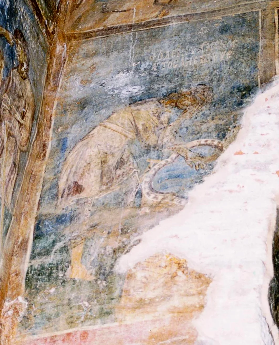
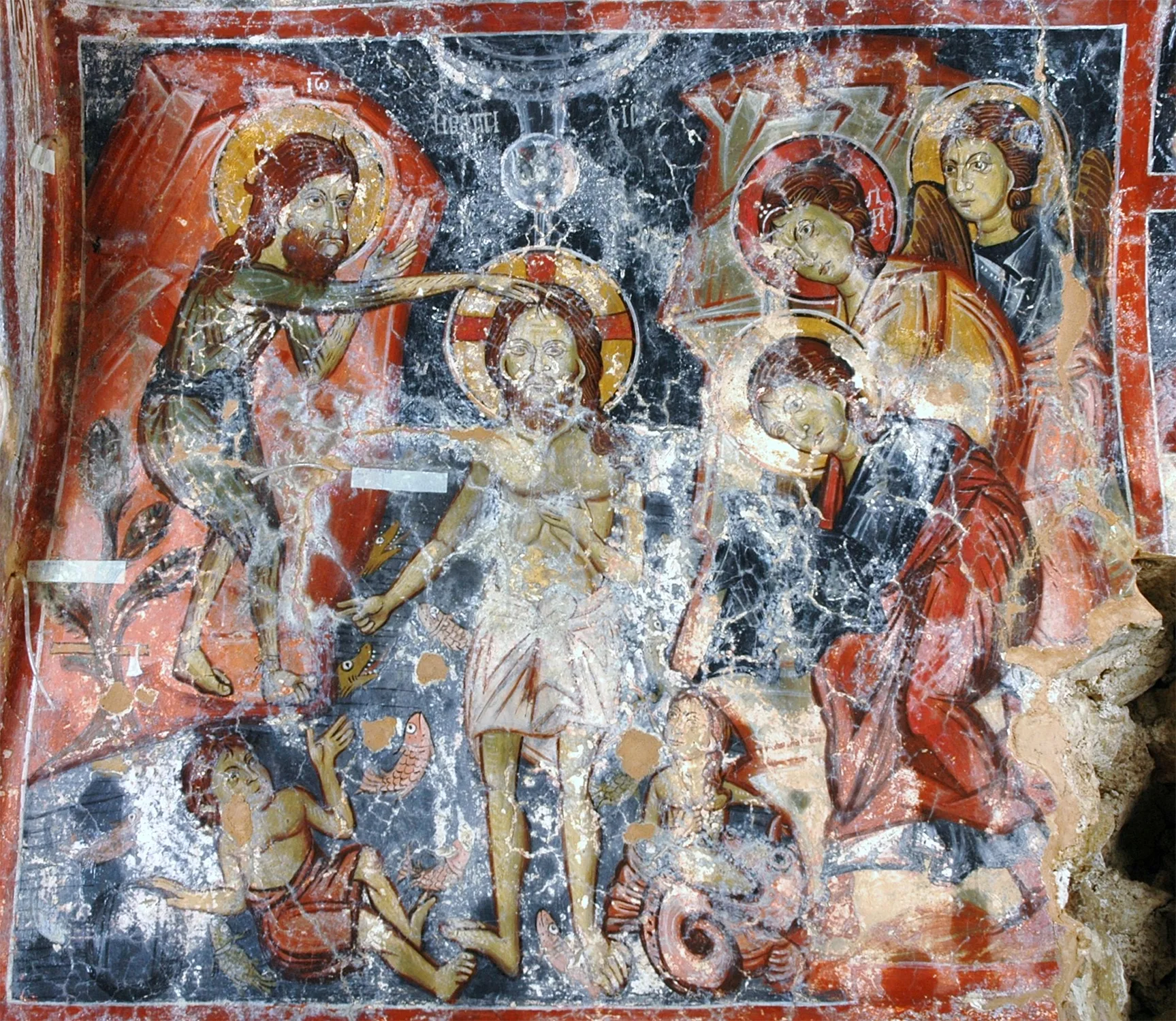
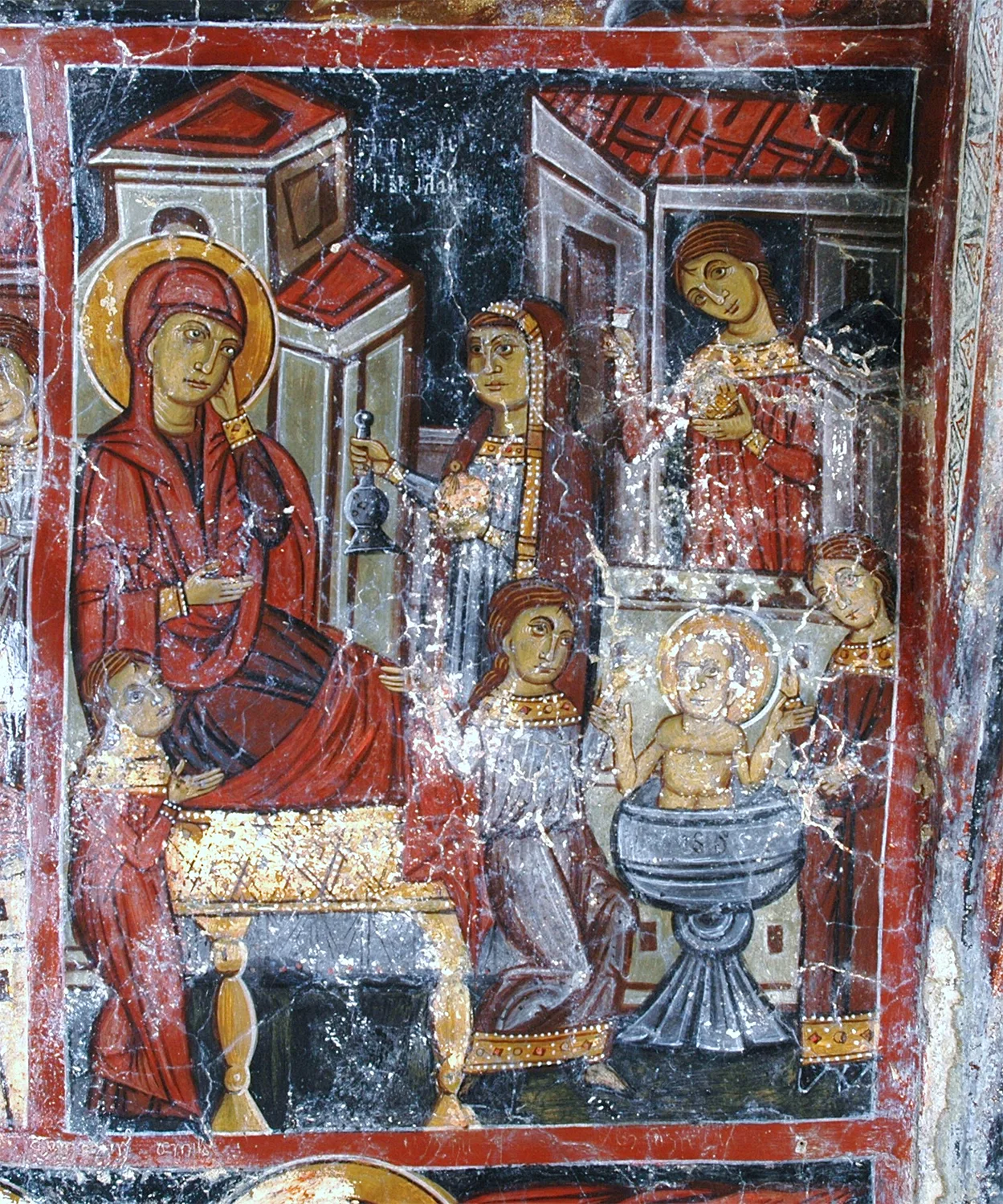
either near natural water sources, or, where these are not available, by feats of engineering and architectural innovations that allow people to locate, treat and use water. The importance of this chemical element to survival is reflected in the view of many philosophers who consider it the origin of all things, while entire cultures have deified water or attributed to it curative and purifying properties. The worship of water was also incorporated into Christianity, as believers are baptised to purify themselves and drink holy water to heal and protect themselves from demonic influences. Folk tradition often uses water to express various concepts in proverbs, riddles and metaphors.
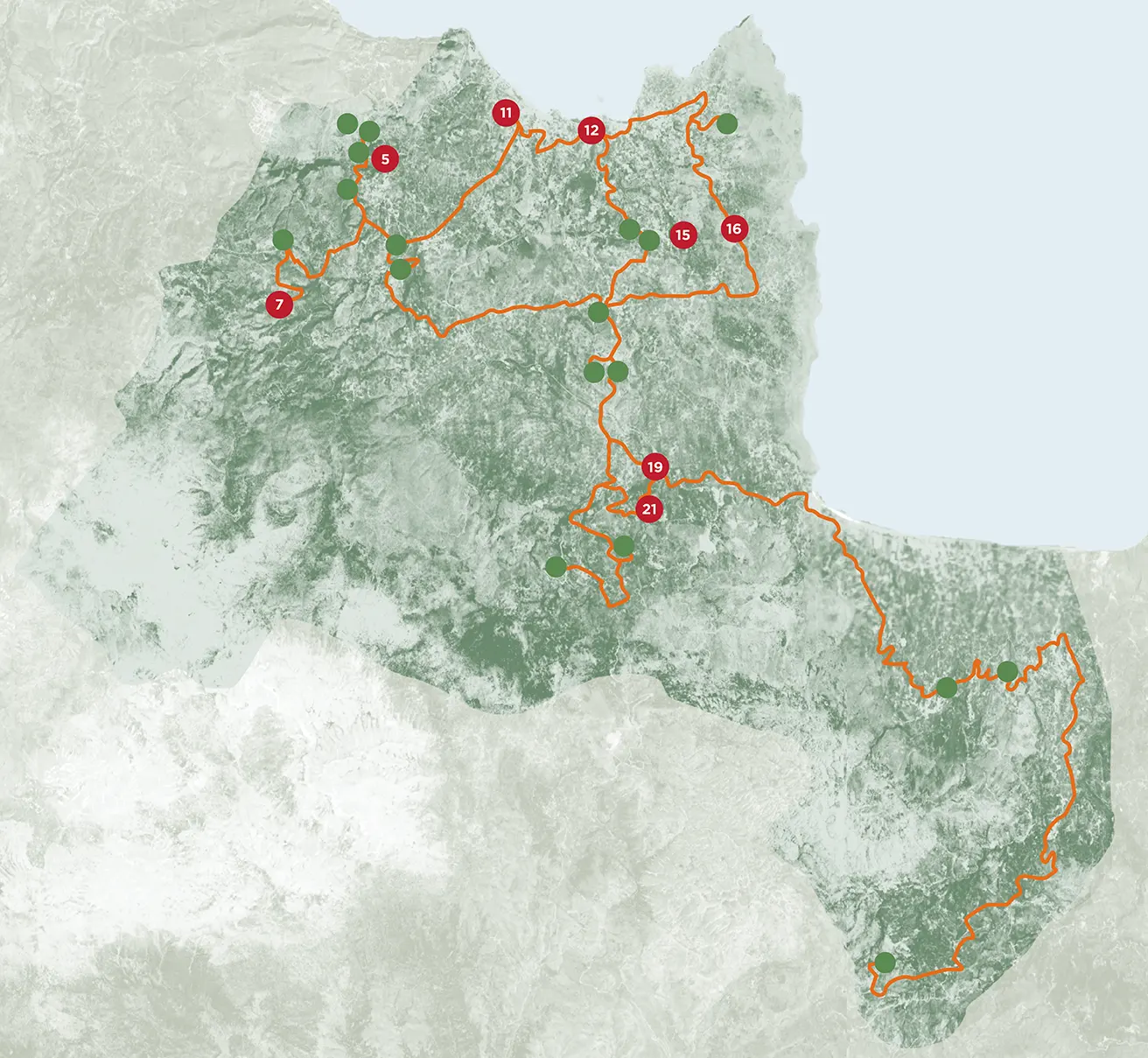
The hydrography of the Apokoronas region played a vital role in the development of human societies there from as early as the prehistoric period. Apokoronas extends from the coastal lowlands in the north, washed by the Sea of Crete, southwards to the semi-mountainous areas with their picturesque plateaux and hills, ending in the imposing landscape of the White Mountains (which reach a maximum altitude in the province of about 1800 m above sea level). Apokoronas is a catchment basin for most of Chania Prefecture, with natural underground reservoirs and famed springs, rivers and lakes. The villages of Stylos and Armenoi have springs with excellent drinking water, while the Zourbos springs are brackish. Important rivers in the region are the Mouselas/Moursellas, the Delphinas, the Almyros/Armyros, the Boutakas or Vryssanos, the Xides/Xydeis/Xydas, the Mesopotamos and the Koiliaris/Kyliaris. The brackish Lake Almyros supplies large quantities of water and hosts aquatic fauna, as does the river of the same name.
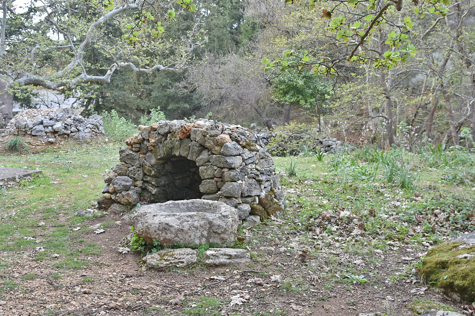
However, the most important lake of Apokoronas is none other than Lake Kournas or, as it was known in antiquity, Lake Korrisia. It is the only natural lake on a Mediterranean island and the southernmost lake in Europe. Its dark waters have given rise to the myth that it is bottomless. Its geomorphology makes the layers beneath it impermeable, preventing its water from flowing away underground. The gorges and caves of the Apokoronas region highlight the value and importance of its natural landscape. Names of villages such as Embrosneros (“forward water”), Vrysses (“springs”) and Armyros (“brackish river”), demonstrate the importance of water in the province.
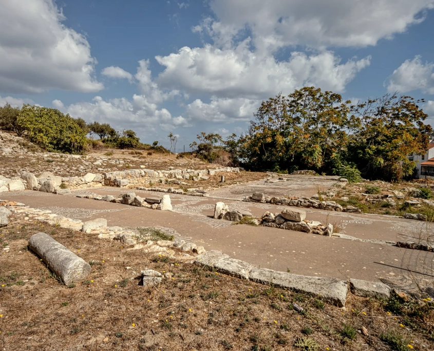
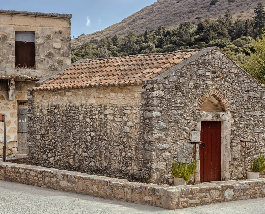
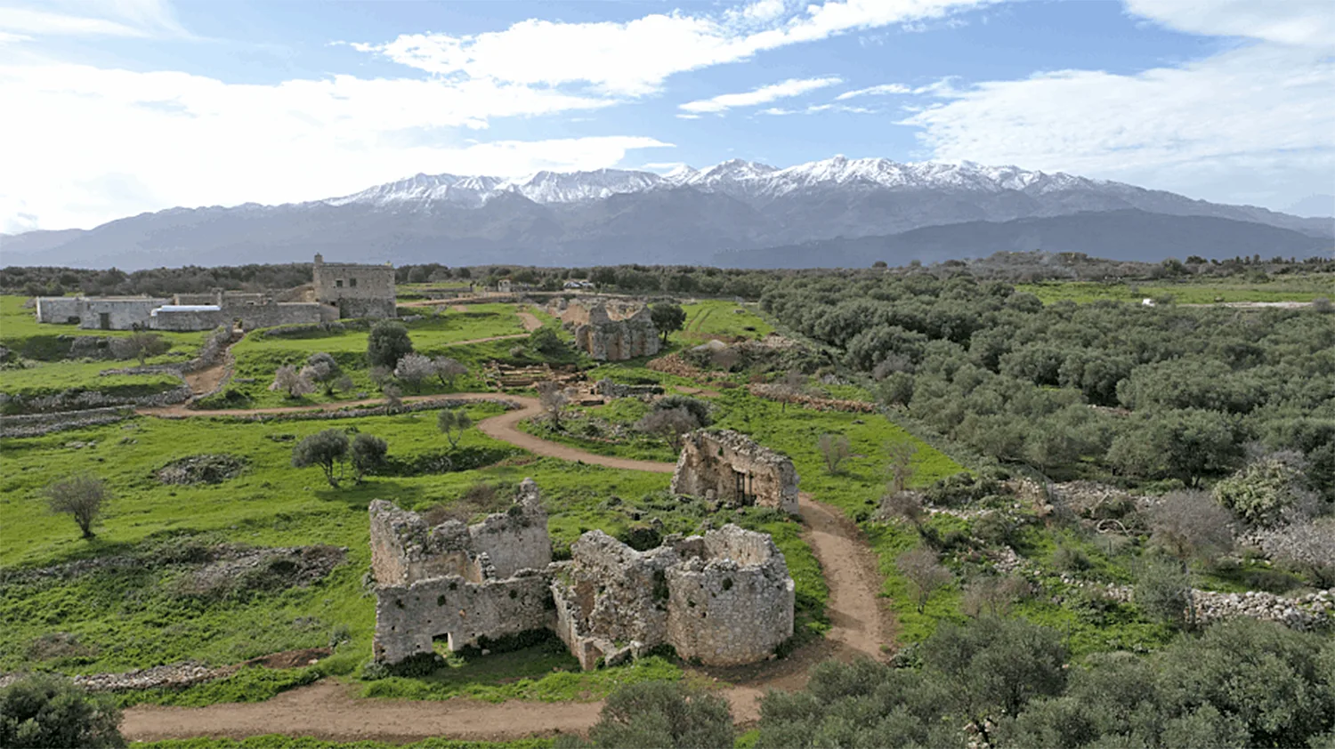
Ancient Aptera or Aptara was founded in the Geometric period (8th c. BC) on the wide plateau (200 m) of Paliokastro, a site of unique natural beauty, with Suda Bay to the north and the imposing range of the White Mountains to the south. Its prosperity is largely due to the location’s relationship with water: on the one hand, the hill, overlooking Suda Bay, ensured its security, while its proximity to the sea allowed the operation of two harbours (Minoa in Marathi and Kissamos in Kalyves), ensuring control of trade. The city flourished from Classical and Hellenistic times onwards, with the minting of its own currency, a dynamic economy and foreign policy, strong fortifications, a theatre and organised sanctuaries.
During the Roman period, despite the use of Kydonian coins, indicating administrative subordination to that city, Aptera evolved and prospered.
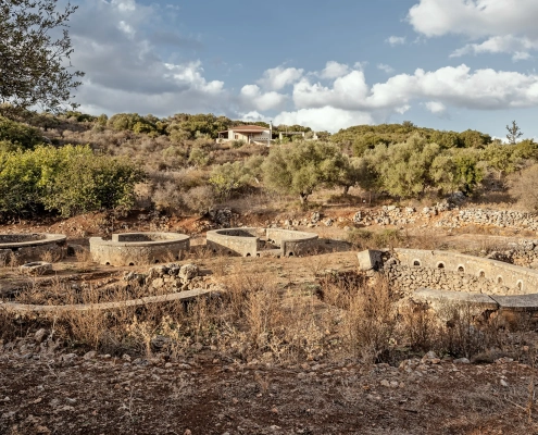
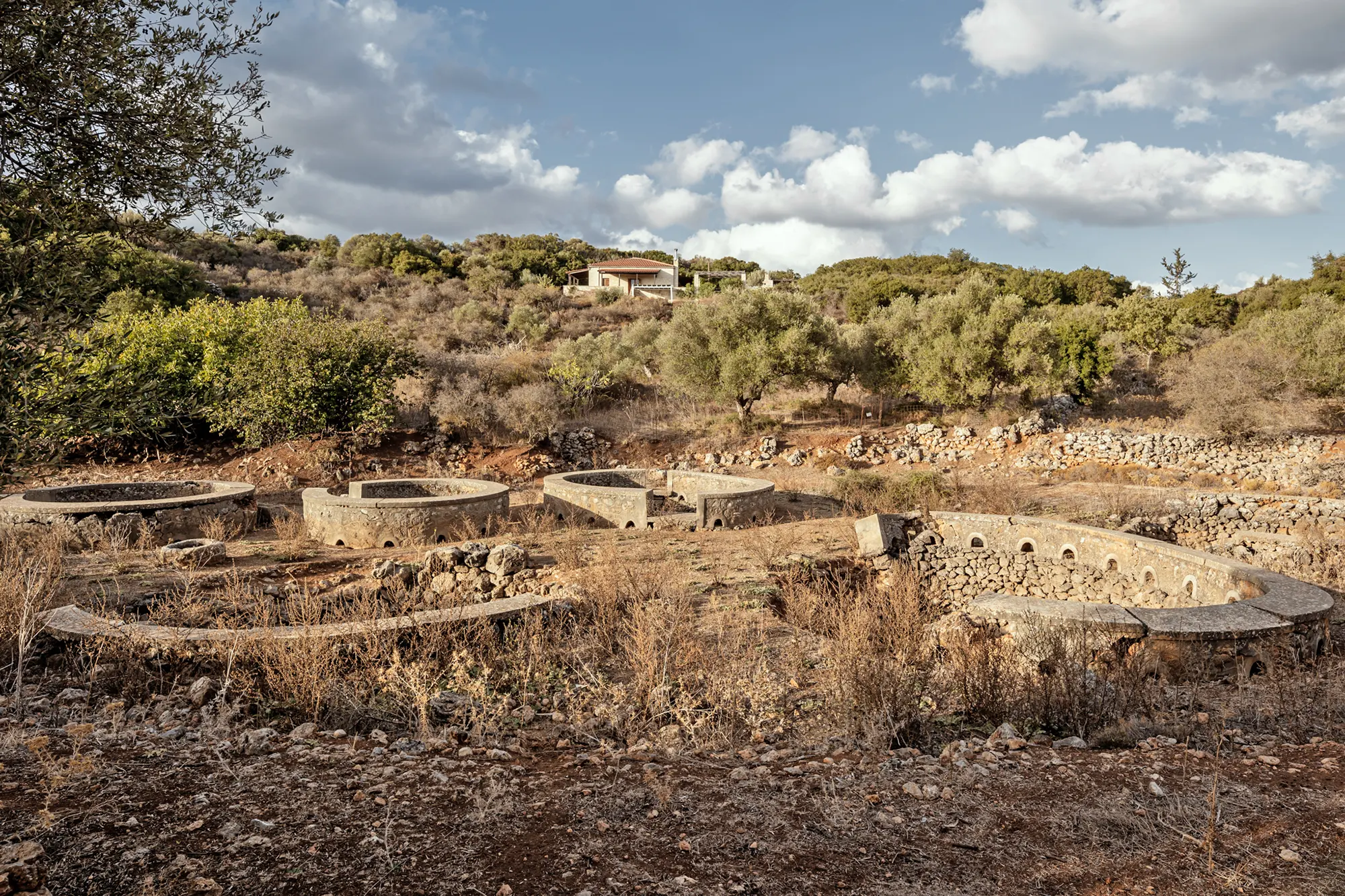
This development is also reflected in the construction of cisterns in the area, as the large plateau of the city does not appear to have had any springs. The two vaulted cisterns, one three-aisled and the other L-shaped, probably incorporating parts of an earlier form, are largely rock-hewn with a built upper part. They are reinforced with exterior buttresses to counteract the water pressure. Rainwater was collected through openings in the roof and via a network of conduits connected to small domestic cisterns. The two cisterns were self-standing rather than being incorporated in building complexes, houses or villas, but served public needs. They had a capacity of up to or even over 3,000 cubic metres. The lack of an aqueduct in the area, and the fact that the closest springs, at Stylos and Kalami, lie at least 150 m lower down, support the hypothesis that the city was supplied with water by cisterns as early as the Hellenistic period.
-
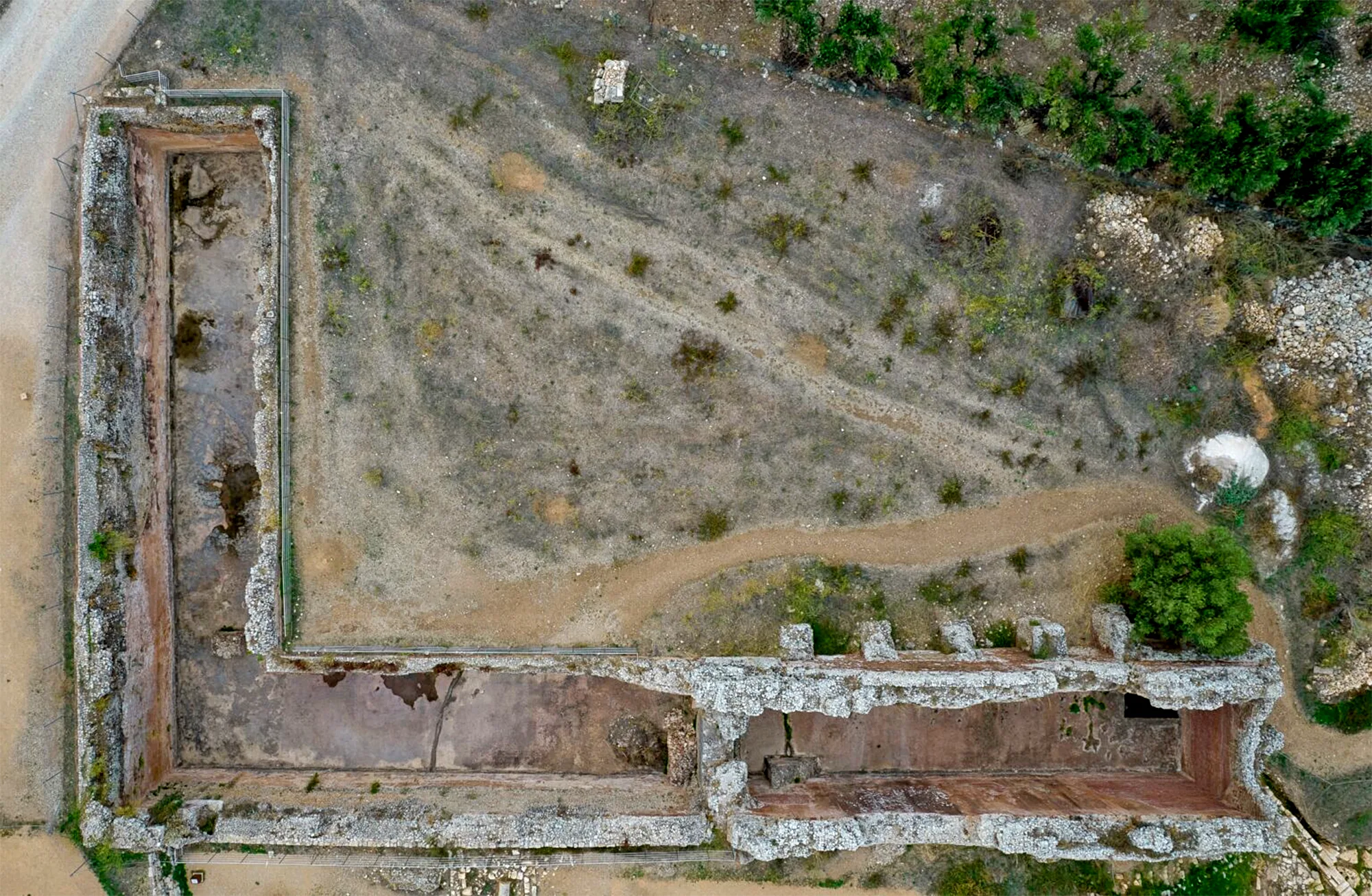
-
Ancient Aptera. L-shaped cistern. View from above (source: Ministry of Culture, Ephorate of Antiquities of Chania, https://ancientaptera.gr/media-gallery/ ).
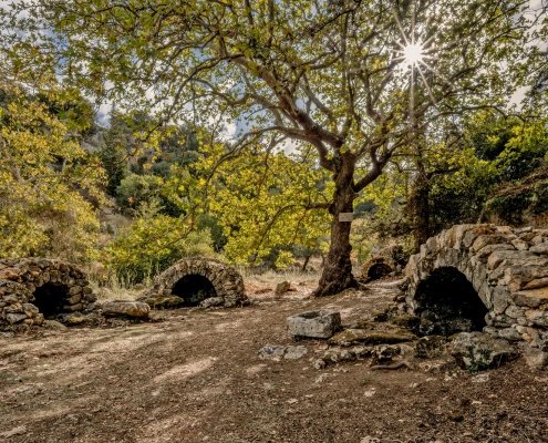
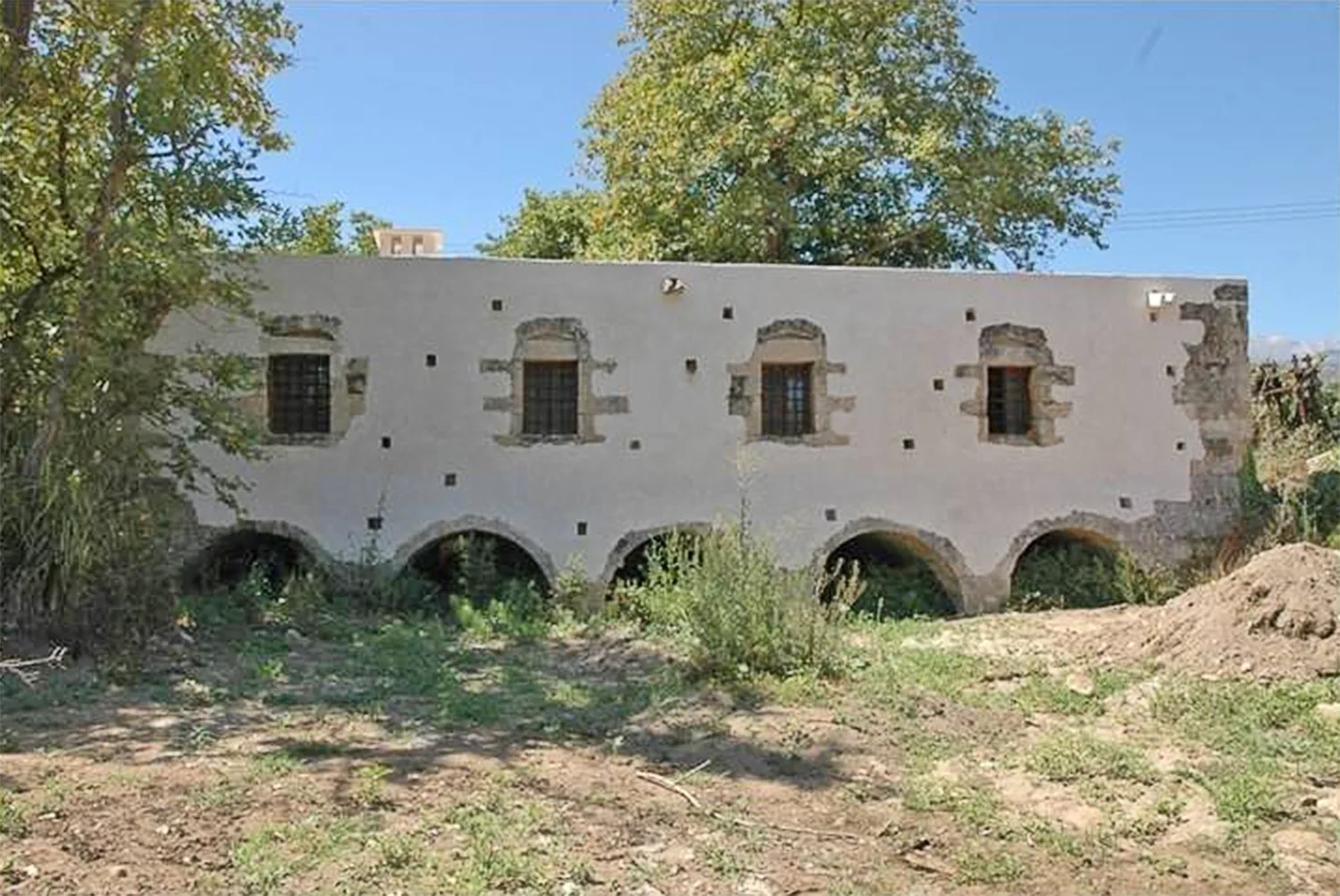
The cisterns fed the large bath complexes lower down the slope to the north. The limited excavation and partial study of the two baths that have been uncovered offer relatively little information, but firm conclusions can be drawn on their layout and use. The eastern Bath I, north of the three-aisled cistern, is divided into the east side, consisting of three rooms with hypocausts, and the west side, consisting of two rooms with bathtubs, an arched room, a corridor and three other partially excavated rooms. It includes corridors with auxiliary rooms and praefurnia (the furnaces used to heat the hypocausts), while parts of a hot and cold zone appear to be preserved. Part of an inscribed lintel, probably from the main entrance of the bath, records the name of an Athenian, perhaps the benefactor who funded the building’s construction. The western Bath II, which is connected to the L-shaped cistern, features eight vaulted rooms, a hypocaust system, an arched room with two bathtubs, the praefurnium, chimney ducts and other auxiliary spaces. The destruction of the facilities by earthquakes is visible, especially in parts of Bath I.
-
-
Ancient Aptera. Baths (source: Ministry of Culture, Ephorate of Antiquities of Chania, https://ancientaptera.gr/%ce%bb%ce%bf%cf%85%cf%84%cf%81%ce%ac/ ).
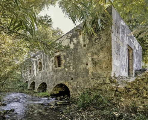
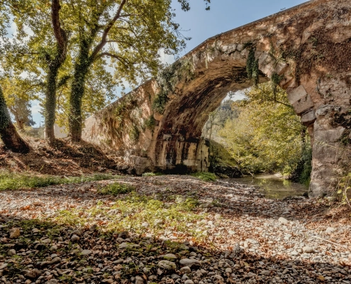
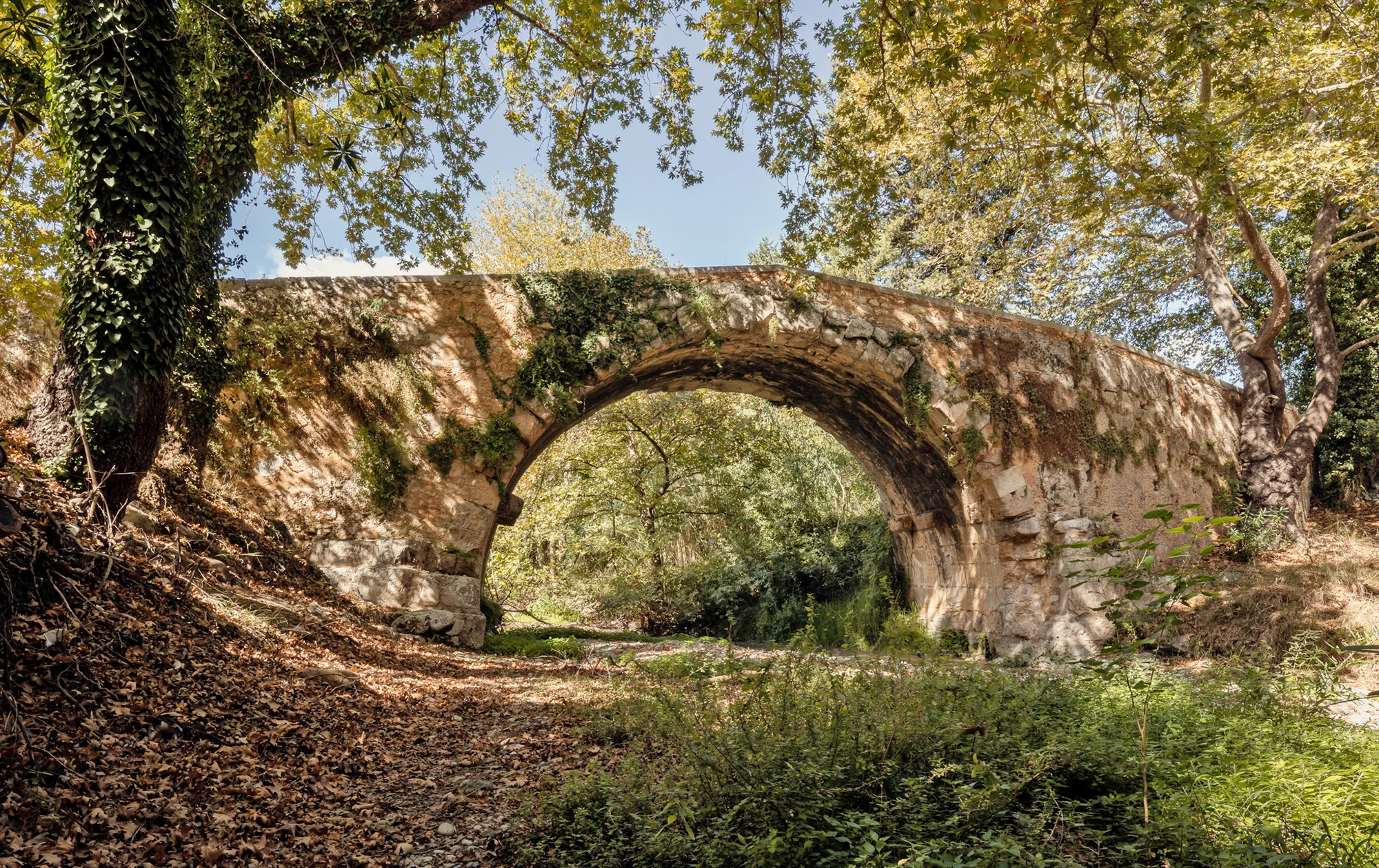
The bridge of Elliniki Kamara, meaning “Greek Arch”, is an important surviving engineering work of the Hellenistic period. It is an iconic, timeless structure that demonstrates respect for the natural flow of the river’s waters through functional, non-destructive interventions. The bridge remained in use into the modern era due to its position on the route connecting Chania to Rethymno.