

Ottoman fortress at Nio Chorio
The fortress (koules) is located southeast of Nio Chorio. The building has two long sides on the N-S axis terminating in a semicylindrical tower on the east, while in the northwest corner one side of the tower is roughly square in plan and projects to the north. Thirty-one gun-loops are preserved. It housed a garrison of about 10 men.
The fortress is part of the network of fortifications constructed by the Ottoman government between 1867 and early 1868, during the great Cretan Rising (1866-1869), in order to assist in its suppression. The fortresses communicated with each other using sound or fire signals. The Neo Chorio fortress was strategically located, controlling the road connecting Chania to Vrysses and Rethymno.
The architecture of the fortresses (known as kouledes from the Turkish kule, meaning “tower”) was determined by the terrain, the building material – which was extracted on the spot, meaning that the buildings varied in form – and the duration of construction. The fortresses of the Cretan network were constructed very rapidly by large numbers of labourers, some of them being completed in just 8-10 days.
The fortifications were intended to restrict organised operations against the Ottoman troops, to monitor the interior of the island and to limit the movement of large numbers of people from one part of Crete to another. The building programme, which was carried out amid often fierce fighting, was concentrated in the area of Chania, the heart of the rising, where the first fortresses were constructed. Within a year, 20 fortresses were built in Apokoronas alone, out of the 320 in the Chania region forming part of the densest and most extensive network on the island.
-
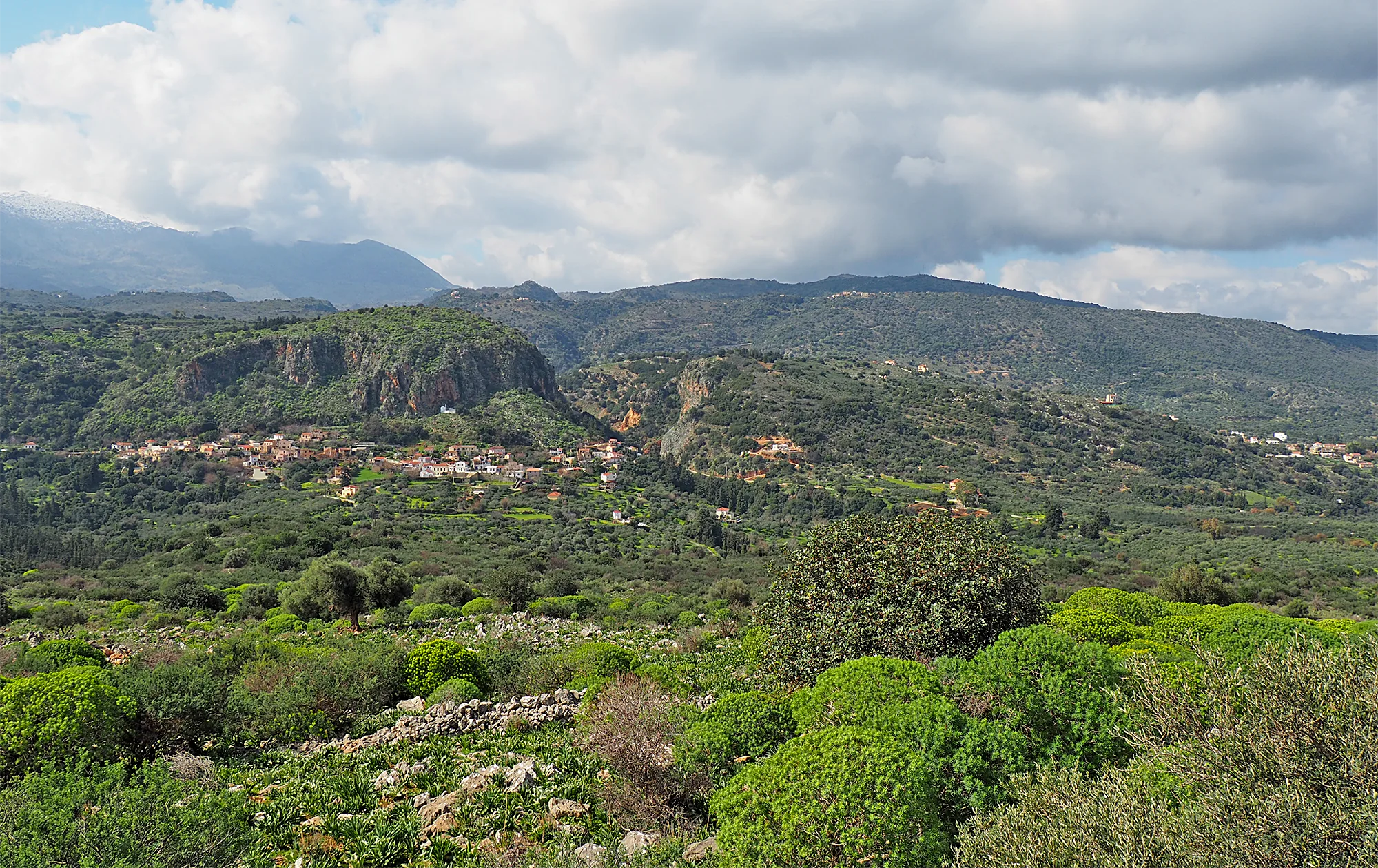
- Fortress, Nio Chorio. View from the SE (source: Maria Andrianaki).
-
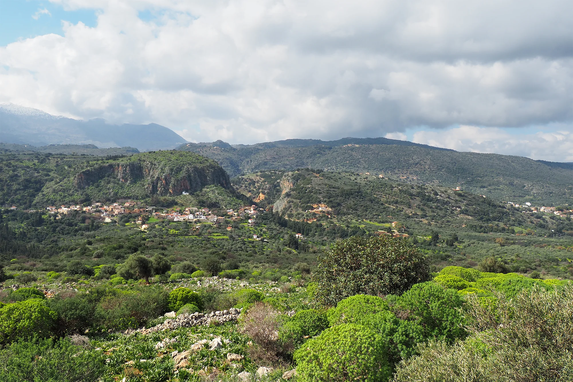
- Fortress, Nio Chorio. Field of view to the W (source: Maria Andrianaki).
-
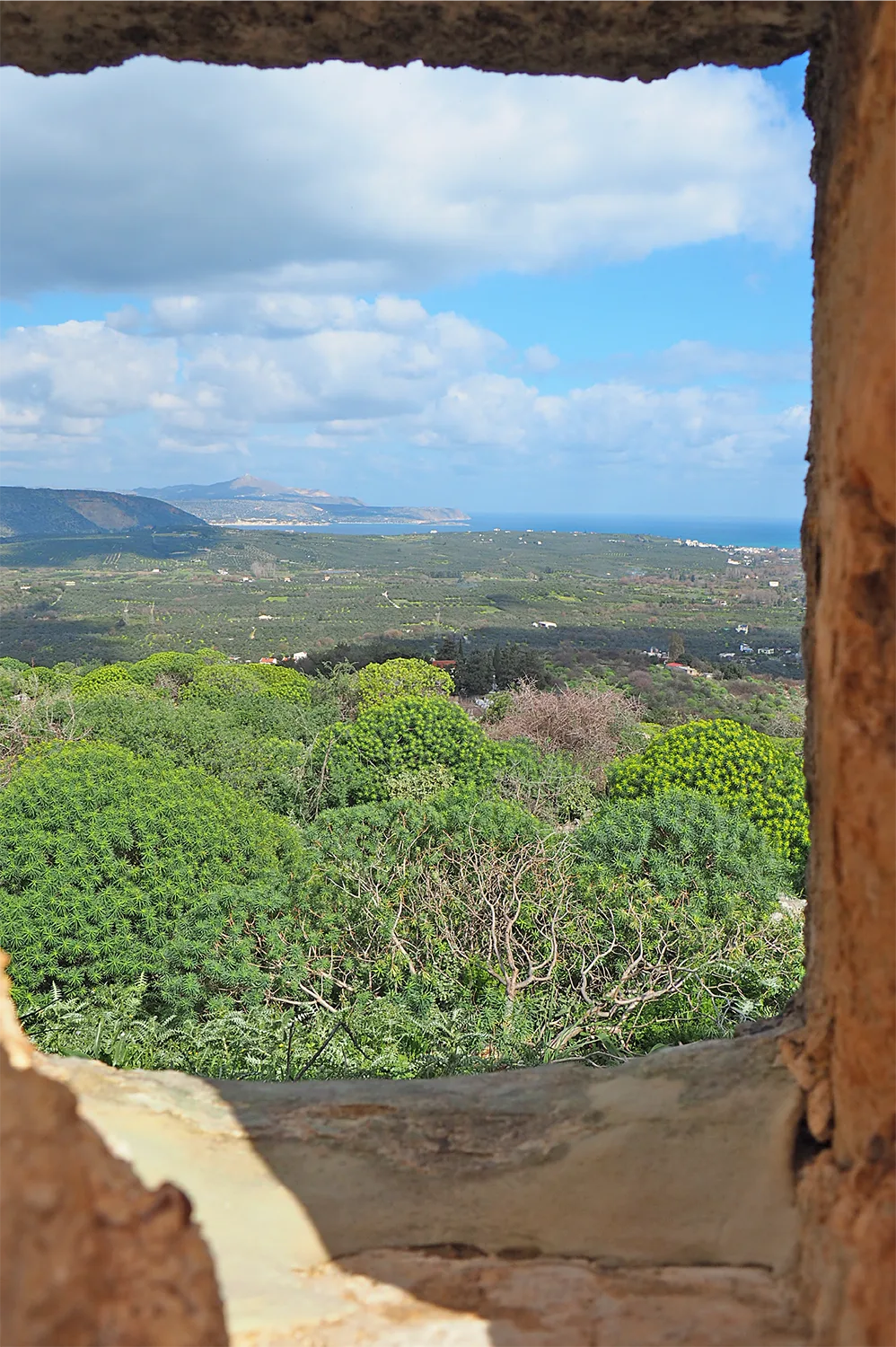
- Fortress, Nio Chorio. View of Suda Bay from a gun-loop on the north side (source: Maria Andrianaki).
 Ottoman fortress at Nio Chorio in the Route of Timelessness
 Ottoman fortress at Nio Chorio in the Route of Life and Death
-
- Fortress, Nio Chorio. Field of view to the SW (source: Maria Andrianaki).
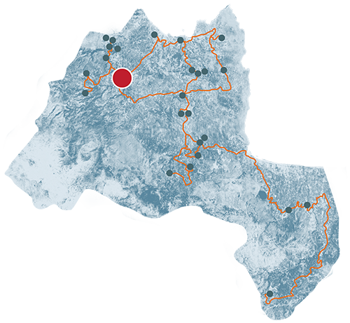
Nio Chorio
Nio Chorio is located at an altitude of 80 meters, in the valley of the Xide River.
The village is located on the old Chania-Rethymno national road and is 23 kilometers from Chania.